
Whitstable · 28.5 road miles north of Folkestone
Roofers in Whitstable
A chapel, a restaurant building and a hotel are all Grade II listed here, and the Whitstable Town, Tankerton, and Canterbury and Whitstable Railway and Whitstable Station conservation areas lie close to the centre. Roof work starts with who has to say yes, and the survey is written so the answer can be checked.
- Heritage list entries
- The Methodist Chapel, the Tudor Restaurant building and the Duke of Cumberland Hotel, all Grade II
- Conservation areas
- Whitstable Town; Tankerton; Canterbury and Whitstable Railway and Whitstable Station
- On the flood map
- Flood Zone 2 is where the Environment Agency's map places the centre of Whitstable
- Highway permit
- Kent County Council, £52 per week for 2026 to 2027
Whitstable findings that can change the whole plan
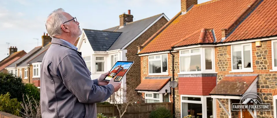
What we found
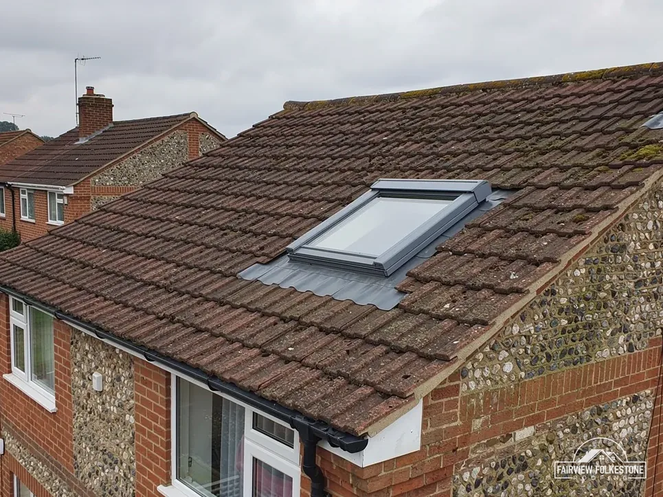
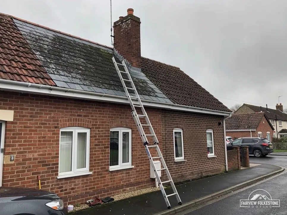
Pointing opened around chimney lead
What it fairly needs
Repoint it and redress the lead.
What we found
A roof on a listed building
What it fairly needs
Find the consent route first.
What we found
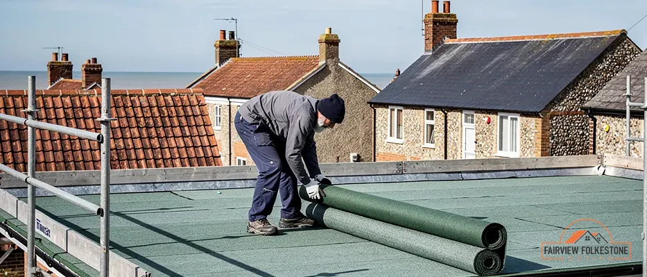
A rear flat roof ponding all year
What it fairly needs
A new membrane on a deck with fall.
The fair ledger
Listed buildings, designated streets and a coastal site in Whitstable
Whitstable puts several questions in front of a roof job before any tile is lifted: what is listed, which conservation area applies, and how an exposed site is fixed. Each entry ends in a verdict.
Entry 01Listed buildings
Chapel, restaurant and hotel: three Whitstable list entries, three consent questions
The Methodist Chapel, Number 29 Tudor Restaurant with Number 30, and the Duke of Cumberland Hotel are all Grade II. Each needs its consent route settled before the roof is touched.
Different buildings, different answers
Historic England numbers the chapel 1336853, the restaurant building 1106229 and the hotel 1084937. A building in commercial use has no special exemption. Canterbury City Council says changes that affect a listed building's character need listed building consent, and a restaurant or hotel roof sits inside that rule like any other.
The chapel is harder to place from here. Its list entry gives a grade, but it does not say whether worship still goes on inside or which body holds it, and that is what decides the route. If it is a Church of England church in use, the faculty system applies. A Methodist, Roman Catholic or United Reformed church in use has a system of its own, and for Unitarian, Quaker or redundant churches the route is listed building consent. Until those facts are in hand we assume nothing, and the first letter goes to whichever body turns out to decide.
Listed hotel, slope re-covered
Listed building consent
Loose tiles, battens sound
Refix them
What goes in the letter
- The list entry number, and the address it describes.
- Dated photographs of each slope, the chimneys, the gutters and the parapets.
- What the survey found beneath the covering.
- The repair or replacement proposed, in plain terms, with what stays as it is.
- A line on what the work will leave looking different from the street, and what it will not.
Our commercial roofing service explains how larger and non-domestic roofs are surveyed. For a listed house, the planning guide for roof work says where planning permission begins.
Does the chapel's Grade II listing mean the council grants consent?
Not necessarily. Whether the chapel follows the council's listed building consent route or a denomination's own system depends on who holds it and how it is used, and the list entry is silent on both. We establish that first, and then we write to the body that decides.
Entry 02Designated streets
Whitstable's conservation areas: which one is your road in?
Canterbury City Council designated all three, and each lies close to the centre. Canterbury City Council puts the conservation areas in its district at 97, and its map shows where each boundary runs.
What a boundary does and does not change
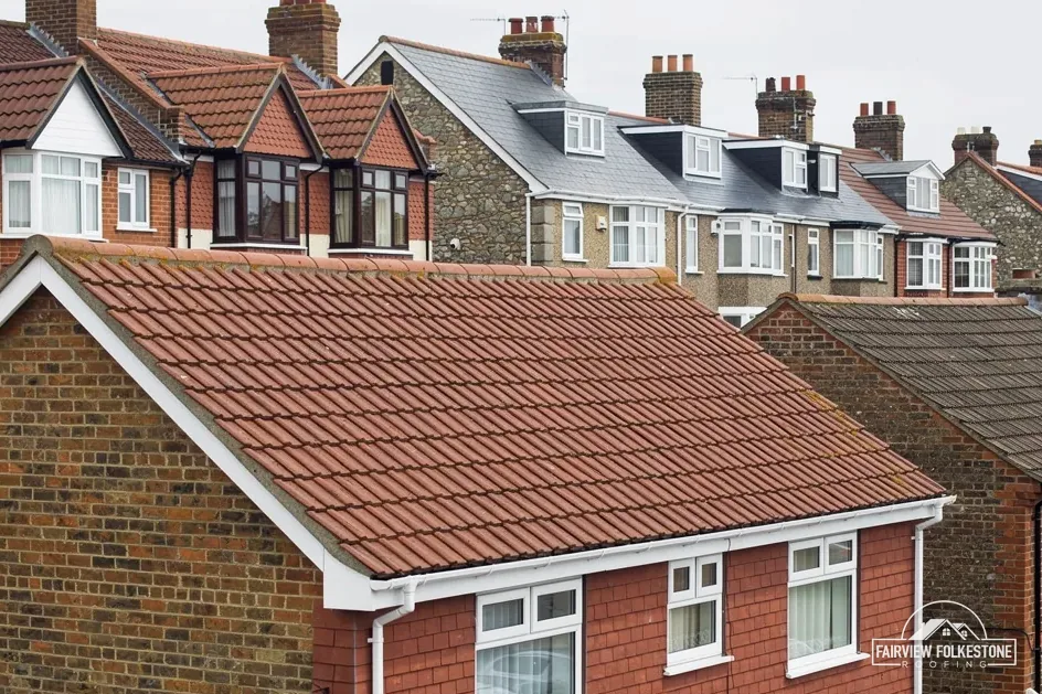
Inside a conservation area, as outside one, re-covering a house roof normally stays within permitted development. What the designation adds is closer attention to how a building looks from the street. Where an Article 4 direction is in force, more of those rights may have been taken away, and for your own road it is Canterbury City Council you need to check with. Nothing is read from a street name, because a boundary can follow a line no road sign shows. Two neighbours on one street can be on different sides of it, which is why we look at the house and not at the road.
The three areas have different names and different edges. Whitstable Town and Tankerton are separate designations, and so is Canterbury and Whitstable Railway and Whitstable Station. A house can sit in one, or in none, and the council's map is the only fair way to tell.
Myth: A conservation area means a roof cannot be re-covered.
Fact: Permitted development still allows a house to be re-covered there, while an Article 4 direction may withdraw more, so the council is asked about your road.
How a survey deals with it
At the survey we open the council's map for your address and note what it shows. Where a designation applies, our photographs include the street face, since that is what the council looks at, and the same pictures serve as a record of the roof before any work begins, and the written quote records what we asked and what came back.
Gutters, fascias and soffits on a street face are described together with the roof, because the council sees one frontage and not a list of separate jobs. Our gutters, soffits and fascias service shows how that is written up, and a reply from the council is copied into the quote word for word.
Fixings worked out for the site
Cupa says a coastal location is graded as more exposed, alongside hills, slopes and tall buildings. The fixing specification for a slate or tile roof is therefore calculated for the address under BS 5534, a code Marley says isn't required by law but which no longer leaves a covering to mortar alone. The survey records the pitch, the battens and the underlay, and the schedule that follows is built on those records. Where a roof has been re-covered before, we look for how the earlier work was fixed, since the same fixings will not necessarily suit the new covering. A fixing that has held for years is not evidence that a lighter or heavier covering can use it.
On the Environment Agency's flood map, Whitstable's centre sits in Flood Zone 2. That tells you about land and water. It is no roofing rule, but it is a fair prompt to confirm that the gutters, the downpipes and the drains beyond them all work, and to see the water leave the property rather than gather beside it.
Entry 03Exposure
0.07 miles from the coastline: fixings, STG and a scaffold licence
Whitstable's centre lies 0.07 miles from the coastline, so exposure comes into the specification. The same job raises a building control question and a licence for the road.
What sets the price
- How many slopes need re-covering
- Condition of battens and underlay
- Whether scaffold stands on the road
- Whether the new covering is heavier
One written total price
- Slate or tile on top
- Batten beneath it
- Underlay under the battens
- Rafter carrying it all
Building control and the highway
STG Building Control Partnership, on 01634 331133, takes applications for Canterbury City Council. The Planning Portal sets two limits that must both hold: the work affects less than 25 per cent of the building envelope and also less than 50 per cent of the roof, and the new covering stays under the 15 per cent weight increase that triggers approval. Cross either line and an application is needed.
For scaffold on a Whitstable road, Kent County Council's page says "the skip or scaffolding company should submit the application for you". One permit covers 7 calendar days. We arrange it with our scaffolder, and the written price already allows for it. Our pitched roofing service explains how that visit is organised.
Whitstable roof on your mind? Start with one photograph
A view from the street and one from inside the loft is enough for us to book a visit, whatever the age or shape of the building, and each verdict reaches you with its reasons beside it, so nothing arrives as a bare figure.
Whitstable, 28.5 road miles north from Folkestone
Whitstable is 28.5 road miles north of Folkestone, about 40 minutes by road. Photographs sent ahead tell us what to bring and what to look at first, and they save a second trip. A shot of the ceiling stain, if there is one, helps as much as the roof itself. When the visit is done you receive one written total price, with the verdict on each fault set beside it, so that you can read the findings against the proposed work and decide at your own pace, with nothing to sign on the day. Prefer to talk it through first? A phone call to the office is fine, and we will suggest what to photograph.
Whitstable roofs: listings, boundaries, fixings and the flood map
How are fixings decided for a Whitstable roof 0.07 miles from the coastline?
They are calculated for the address under BS 5534. In Cupa's guidance a coastal site is graded as more exposed, and Marley says the code isn't required by law but does not leave a covering to mortar alone. We record the pitch, the battens and the underlay, then write the fixing schedule from those findings, so it rests on the roof in front of us and not on a standard recipe.
Is the Methodist Chapel's roof a matter for the council?
That depends on how the building is used and by whom, and the list entry, number 1336853, does not tell us either way. A church in use by a denomination with its own system follows that system, while other uses go through listed building consent from Canterbury City Council. We confirm which applies before any work is discussed, because a wrong assumption would cost you weeks, with the question sent in writing to the body that decides, and the reply kept with the quote.
Which conservation area is my Whitstable road in, if any?
Canterbury City Council designated Whitstable Town, Tankerton, and Canterbury and Whitstable Railway and Whitstable Station, and its map shows each edge. A house can be re-covered under permitted development in all of them, but an Article 4 direction may withdraw more, so we ask the council about your address before we price, quote its reply and note when it was given, because a conservation area can change how the work must be described.
Does a new roof covering in Whitstable need approval from building control?
Only where it crosses the Planning Portal's line. Less than 25 per cent of the building envelope and less than 50 per cent of the roof means no application is normally needed, and a covering that raises the roof's weight by 15 per cent or more does need approval. STG Building Control Partnership, on 01634 331133, takes applications for Canterbury City Council.
Does Flood Zone 2 in Whitstable alter how a roof is put together?
No. The Environment Agency's map has Whitstable's centre in Flood Zone 2, and that describes flood risk to land. It sets no rule for roofs, and our survey runs as it always does. A look at the outlets is still sensible to check that gutters and downpipes discharge freely and that the drains behind them are clear before the weather turns, because a blocked outlet shows itself in the wrong place and at the wrong moment.
Whitstable roof: tell us what it has been doing
You'll get one written total price.