
Appledore · 23.2 road miles west
Roofers in Appledore
A village of 832 residents at the 2021 Census, with a Grade I church, listed Grade II houses, a scheduled length of the Royal Military Canal and the edge of the High Weald nearby. Tell us what the roof is doing and we survey it before anything is priced.
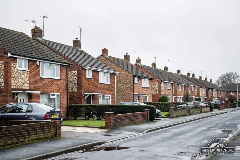
- Church of St Peter and St Paul
- Listed Grade I and in use for Church of England worship
- Canal monument
- The Royal Military Canal from Heron House to Appledore Bridge is scheduled
- High Weald edge
- A National Landscape reaches the area round Appledore; Ashford Borough Council still decides planning
- Scaffold over an Appledore road
- Kent County Council licenses it, £52 a week for 2026 to 2027
A listed ridge, a flat extension and a chimney stack, stamped
What we found
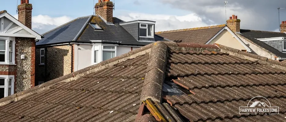
Listed house with ridge tiles loosening
What it fairly needs
Council route before any price.
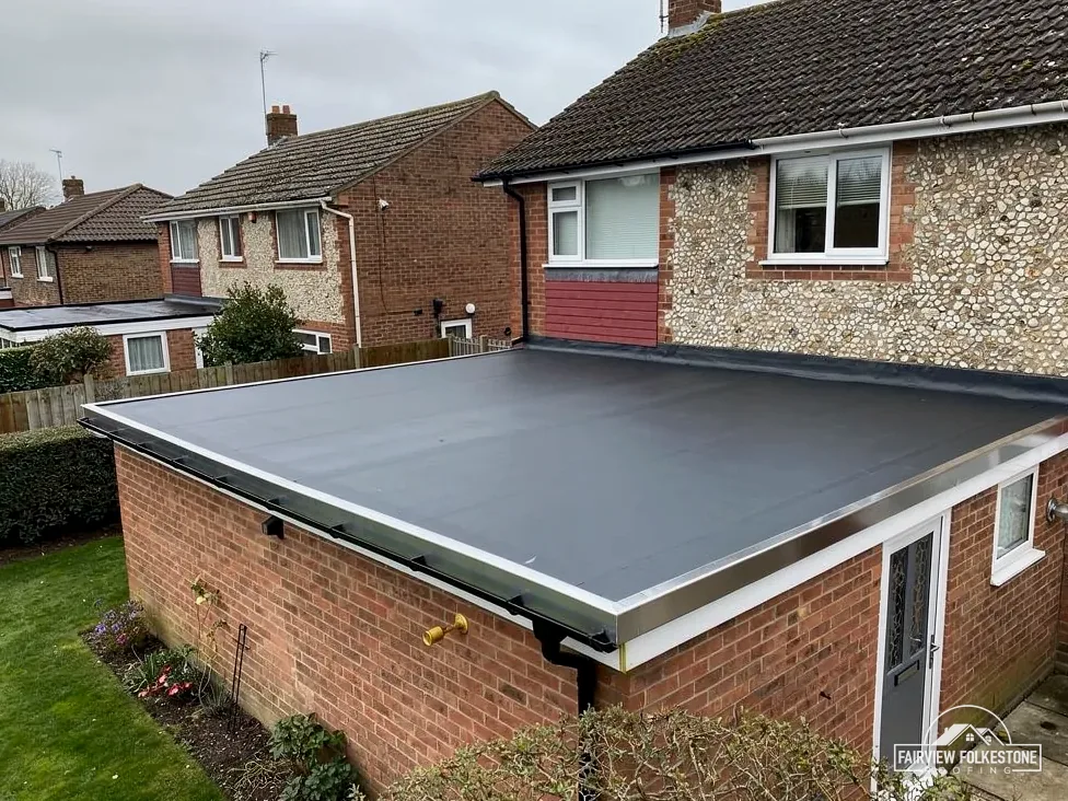
What we found
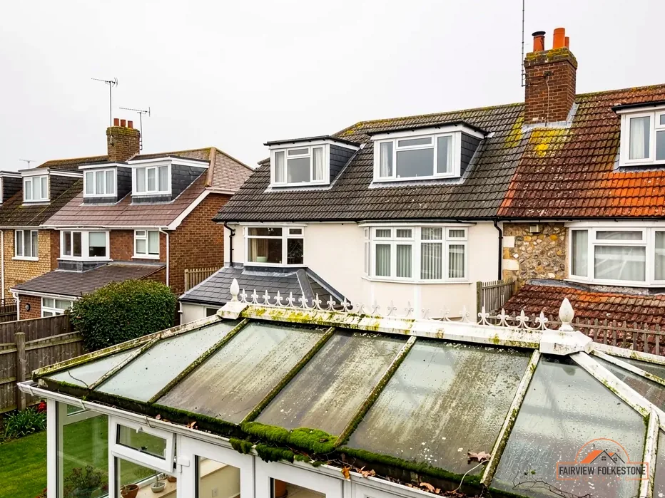
Flat extension roof, membrane split open
What it fairly needs
New membrane, laid to a fall.
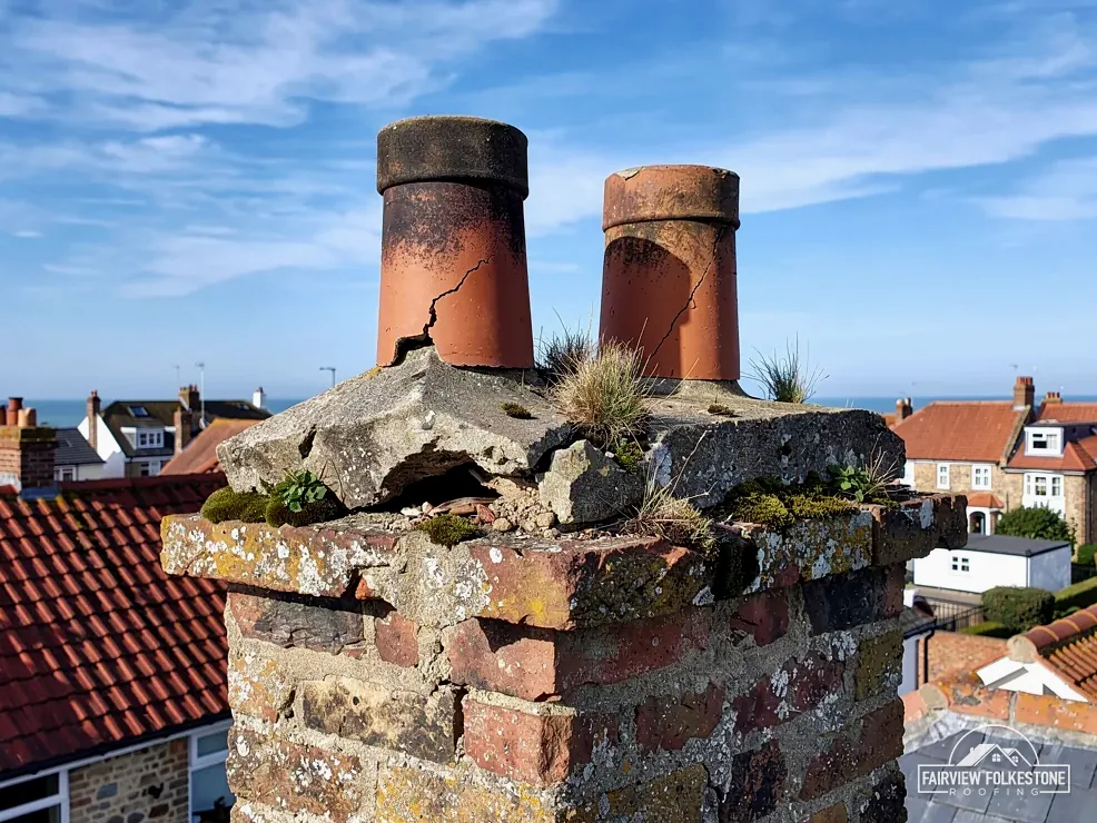
What we found
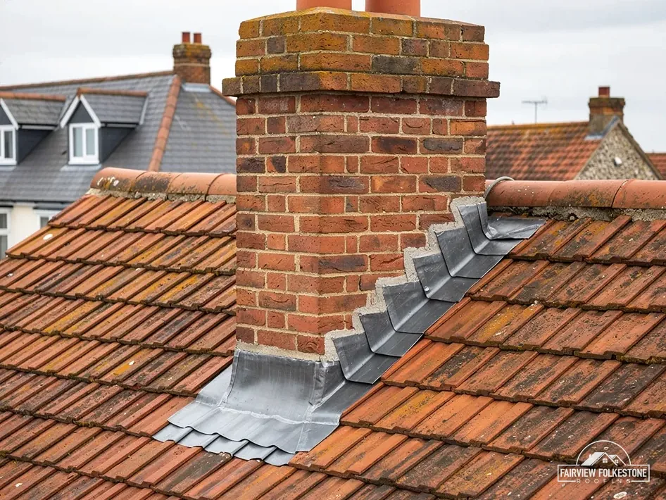
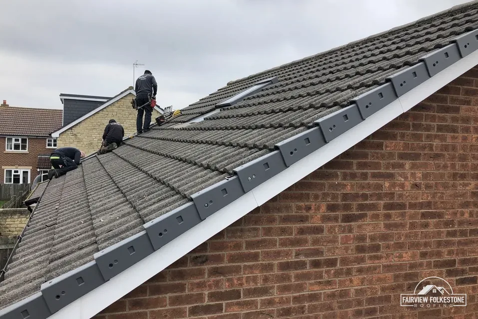
Stack flashing lifting along one edge
What it fairly needs
Re-dress the lead and seal it.
The fair ledger
The High Weald edge, a church, a canal and listed houses
Appledore has a Grade I church, a scheduled canal length and two listed Grade II houses, and the High Weald reaches the area round it. Three entries set out who decides what, and the verdict that follows.
Entry 01Landscape edge
The High Weald edge: a designation that does not decide your roof
The High Weald National Landscape reaches part of the ground around Appledore; the centre of the village is not inside it. Ashford Borough Council, not the landscape team, decides planning.
What a National Landscape changes and what it leaves alone
Land inside a National Landscape, the newer name for an Area of Outstanding Natural Beauty, carries a label, and the label has no power to grant or refuse an application. The High Weald team advises. Ashford Borough Council makes the decisions, and swapping a worn covering for a new one is handled the same way on either side of the boundary. Roof extensions are a different matter on land inside it, and our planning guide for roof work sets out where the limits fall.
Whether a given address lies inside the boundary is for the map to say, so look at it before assuming either way. The boundary reaches into the area around the village without taking in the centre, which means two houses a short walk apart can sit on different sides of it. Check the map for your own address; at the survey we can go through it together on a phone or a printed sheet.
On the roof itself the work is the same either way: covering, battens, flashings and gutters, each described in writing before any price is set. A full re-cover is worked out slope by slope, and our roof replacement service explains how the decision between patching and replacing is reached. A sound roof with a few failed tiles is a repair, and the report says so in plain words. Where the covering sits on a pitched frame, our pitched roofing service shows how the battens and underlay beneath it are read, because a tile that looks fine from the lane can be sitting on a rotten batten.
Myth: Roofs in a National Landscape need special permission.
Fact: A new covering follows the usual rules inside the boundary or out, and the district council, not the landscape team, decides planning applications.
How do I know if my Appledore house is inside the boundary?
Look at the High Weald National Landscape boundary map, or ask Ashford Borough Council, which decides planning applications there. The village centre lies outside the boundary but the area around it does not all do so, so the answer depends on the address. Send us your road name and we can look at the map with you before the survey.
Entry 02Church and canal
St Peter and St Paul, and the canal: faculty and scheduled consent
The Grade I church and the scheduled length of the Royal Military Canal are both protected, yet neither is controlled the way an ordinary house is.
Two protections, two different ways of getting consent
Historic England lists the Church of St Peter and St Paul at Grade I, list entry 1071031, first listed on 16 August 1962. It remains in use as a Church of England place of worship, which puts it in an exempt denomination: work goes through the Church of England's faculty system and not through listed building consent from the council. A faculty is permission from the church's own jurisdiction, and the application is the church's to make.
The Royal Military Canal from Heron House to Appledore Bridge is a scheduled monument near the centre of the village, list entry 1005123. Section 2 of the Ancient Monuments and Archaeological Areas Act 1979 makes it an offence to carry out works to a scheduled monument unless they are authorised, so a separate consent applies. A house near the canal does not become part of it. The map on the list entry shows what is scheduled, and we would read it before a scaffold footing or a skip goes anywhere near the water.
Nothing here changes how a roof is read. The covering, the lead and the gutters are surveyed and written up in the same way. The difference is who is asked first, and the survey notes record that answer beside the findings, so the roof is not priced on an assumption about consent that turns out to be wrong.
If the roof you are worried about belongs to a house near the canal, the practical steps are short. Photograph the roof from the road and from any safe vantage point, note the road name, and tell us whether the building is listed. We then read the list entry map for the canal and the council's conservation map for the address, and both findings go into the written report. Nothing is priced until those two checks are back, and the quote that follows is one total.
Grade I
the listing of St Peter and St Paul, Historic England entry 1071031
first listed in 1962
Church roof slipping, church in use
Faculty route first
Work planned beside the scheduled canal
Check the list entry map
Slipped tiles on a house nearby
Refix and match
What the survey writes down for a listed house
Chute House is list entry 1300008 and Forstall Hall is list entry 1362883, each first listed on 16 August 1962. Listed homes keep their permitted development rights for roof work, and listed building consent is required on top whenever the work touches what makes the building special. Ashford Borough Council is the body that gives it. Quote the entry number when you write; it takes the officer straight to the right building.
The conservation area is a second question for houses near it. Ashford Borough Council counts 43 across the borough and keeps the map, and an address is either on it or off it, which only the map can show. Article 4 directions can take further rights away, so ask Ashford Borough Council about yours.
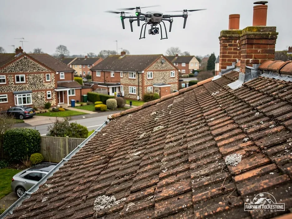
For a listed roof the survey follows a set order.
- The covering, slope by slope, with photographs of any slipped, cracked or patched areas.
- The ridge and hips, and whether the bedding under them has loosened.
- Lead around each chimney, and whether it can be dressed back instead of replaced.
- The gutters, and the boards that carry them.
The written findings go to the council with our proposal before a price is agreed. Our chimney repairs service covers the stack work that follows a lead survey.
A listed roof may not be a single decision. Part of it may need a refix and part a replacement, so the report separates them slope by slope, with a photograph for each, and the proposal names which parts are repair and which are replace. That lets the council judge a small, specific change instead of a general one, and it lets you see exactly what the price pays for.
Scaffold is part of the same picture. Appledore's lanes are where a scaffold might stand on the road, and where it does, a walk-around scaffold must leave a minimum distance of 1.2 metre between the scaffold and carriageway for pedestrian access, according to Kent County Council. We look at the road before booking so that a permit is not a late surprise.
Entry 03Listed houses
Chute House and Forstall Hall: reading a listed roof before pricing it
Chute House and Forstall Hall are both listed Grade II, and Appledore has a designated conservation area that a nearby roof may also have to respect.
What sets the price
- Number of slopes to be surveyed
- Height and access to the stack
- Amount of lead to renew
- Whether scaffold is needed
One written total price
- Stepped flashing up the wall
- Joint where it meets the slope
- Soakers beneath the tiles
- Flaunching round the pot
Folkestone to Appledore, 31 minutes by road
Appledore lies west of Folkestone, 23.2 road miles away. Photographs sent through the form below start the process, the survey is booked for a time that suits you, and one written total price follows the survey. WhatsApp works for a quick picture of a slope or a ceiling stain.
Appledore roof questions, answered plainly
Can loose ridge tiles on a listed Appledore house be refixed without consent?
That depends on what the work changes. Listed building consent applies to anything affecting the building's character, so rebedding a few ridge tiles in matching material is a different question from replacing the ridge in a new product. Chute House and Forstall Hall are both listed Grade II, and Ashford Borough Council decides. We photograph the ridge, describe the repair we propose, and send it to the council before a price is written.
Is every roof in Appledore inside the High Weald National Landscape?
No. Part of the area around the village touches the High Weald National Landscape, while the centre of the village is not inside it, so the answer depends on the address. Check the boundary map for yours, and bring the result to the survey. The landscape label does not take planning decisions away from Ashford Borough Council, and a straightforward new covering is judged as it would be anywhere else. Our planning guide covers the wider limits for extensions.
Who licenses a scaffold on an Appledore road?
Kent County Council charges £52 per week for scaffolding on the highway in 2026 to 2027, and it says the skip or scaffolding company should submit the application for you. Applications go in 5 working days before the start date. We arrange it with our scaffolder. A scaffold that stands wholly inside your own boundary needs no highway licence, and the survey shows which case applies.
Does a new roof covering at an Appledore house need Building Regulations approval?
Under the Planning Portal's test, no application is normally needed where the work affects less than 25 per cent of the building envelope and less than 50 per cent of the roof. A new covering that adds 15 per cent or more to the weight on the roof does need approval. Ashford Borough Council's own Building Control team will confirm for your house on 01233 330282, and we are happy to help you put the question.
Does the Flood Zone 3 map change a roof job in Appledore?
The Environment Agency flood map shows Flood Zone 3 land near the middle of Appledore. That describes the ground, not the roof, so it sets no roofing rule and a survey reads the roof the same way. Gutters, downpipes and drains are still worth a close look, so we follow the water from the slope to where it leaves the building and photograph anything in its way. The written report says whether you have a blocked outlet or a dropped joint.
Water getting in at Appledore? Tell us where.
You'll get one written total price.